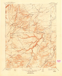
1897 Map of Apishapa
USGS Topo · Published 1948About this map
Atchison Topeka and Santa Fe RR tracks cut through the southeastern corner of this high-plains landscape, anchoring the settlements of Thatcher and Delhi during the late nineteenth century. The Apishapa River carves a deep, winding course through the center of the sheet, joined by a complex network of arroyos and canyons like Mustang Arroyo and Bass Canyon. This drainage pattern defined the locations of numerous early homesteads and livestock operations, including the Mc Daniel Ranch and Reynolds Ranch.
Find a feature on this map
74 named features on this map. Tap any name to fly to it.
Don’t see what you’re looking for? This feature index may not catch every label — zoom into the map to look around manually.
Map Details
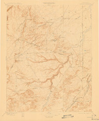
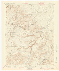
Editions of this 1897 Apishapa Map
4 editions found

Other maps of this area

1891 · Walsenburg
USGS Topo · 1:125,000

1891 · Catlin
USGS Topo · 1:125,000

1891 · Pueblo
USGS Topo · 1:125,000

1891 · Spanish Peaks
USGS Topo · 1:125,000

1891 · Timpas
USGS Topo · 1:125,000

1891 · Nepesta
USGS Topo · 1:125,000

1891 · Apishapa
USGS Topo · 1:125,000

1891 · Mesa De Maya
USGS Topo · 1:125,000

1892 · Elmoro
USGS Topo · 1:125,000

1893 · Nepesta
USGS Topo · 1:125,000