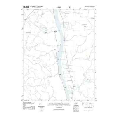
2011 Map of Apple Grove
USGS Topo · Published 2011About this map
Gallipolis Lock and Dam dominates the central channel of the Ohio River, a massive piece of infrastructure facilitating the river commerce that defines this border between Ohio and West Virginia. On the western bank, the landscape is carved by steep drainages like Raccoon Creek and Swan Creek, where family legacies are preserved in the Saint Nicholas Cemetery and Hazel Cemetery. The West Virginia side reveals a string of historic river landings including Coles Landing, Riggs Landing, and Barkers Landing, which once served the agricultural community of Mercers Bottom.
Find a feature on this map
89 named features on this map. Tap any name to fly to it.
Don’t see what you’re looking for? This feature index may not catch every label — zoom into the map to look around manually.
Map Details
Editions of this 2011 Apple Grove Map
This is the sole edition of this map. No revisions or reprints were ever made.
Other maps of this area

1906 · Bidwell
USGS Topo · 1:62,500

1906 · Athalia
USGS Topo · 1:62,500

1906 · Glenwood
USGS Topo · 1:62,500

1908 · Bidwell
USGS Topo · 1:62,500

1908 · Athalia
USGS Topo · 1:62,500

1908 · Glenwood
USGS Topo · 1:62,500

1908 · Point Pleasant
USGS Topo · 1:62,500

1926 · Point Pleasant
USGS Topo · 1:62,500

1929 · Point Pleasant
USGS Topo · 1:62,500

1957 · Beech Hill
USGS Topo · 1:24,000