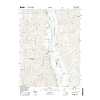
2016 Map of Apple Grove
USGS Topo · Published 2016About this map
The Ohio River forms the primary corridor for this region, separating the hills of Ohio from the river flats of West Virginia. On the western bank, the Wayne National Forest covers much of the uplands, where deep drainages like Raccoon Creek and Teens Run have carved the landscape into prominent features such as Shoestring Ridge. This area is marked by numerous family and community burial sites, including the Bethel Methodist Episcopal Cem and Saint Nicholas Cem, reflecting a long history of rural settlement.
Find a feature on this map
133 named features on this map. Tap any name to fly to it.
Don’t see what you’re looking for? This feature index may not catch every label — zoom into the map to look around manually.
Map Details
Editions of this 2016 Apple Grove Map
This is the sole edition of this map. No revisions or reprints were ever made.
Other maps of this area

1906 · Bidwell
USGS Topo · 1:62,500

1906 · Athalia
USGS Topo · 1:62,500

1906 · Glenwood
USGS Topo · 1:62,500

1908 · Bidwell
USGS Topo · 1:62,500

1908 · Athalia
USGS Topo · 1:62,500

1908 · Glenwood
USGS Topo · 1:62,500

1908 · Point Pleasant
USGS Topo · 1:62,500

1926 · Point Pleasant
USGS Topo · 1:62,500

1929 · Point Pleasant
USGS Topo · 1:62,500

1957 · Beech Hill
USGS Topo · 1:24,000