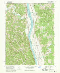
1968 Map of Apple Grove
USGS Topo · Published 1970About this map
The Ohio River bisects this river valley landscape, serving as the primary corridor for commerce and the state boundary between Ohio and West Virginia. On the West Virginia side, the Baltimore and Ohio railroad tracks run parallel to the water, connecting settlements like Apple Grove and Mercers Bottom to the regional economy. The river itself is managed by the Gallipolis Lock and Dam, a significant engineering feature that regulates the pool elevations. To the west, the Wayne National Forest covers much of the Ohio uplands, where the terrain is punctuated by a strip mine and narrow hollows. Local community life is centered around rural landmarks such as Beale Chapel, Elizabeth Chapel, and Sunnyside Sch. The map also details early land divisions, with dotted lines indicating private subdivisions of the Ohio Company Purchase, reflecting the historical settlement patterns of Mason and Gallia counties.
Find a feature on this map
65 named features on this map. Tap any name to fly to it.
Don’t see what you’re looking for? This feature index may not catch every label — zoom into the map to look around manually.
Map Details
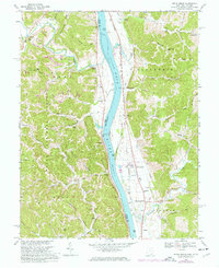
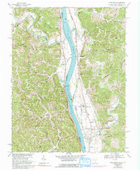
Editions of this 1968 Apple Grove Map
Other maps of this area

1906 · Bidwell
USGS Topo · 1:62,500

1906 · Athalia
USGS Topo · 1:62,500

1906 · Glenwood
USGS Topo · 1:62,500

1908 · Bidwell
USGS Topo · 1:62,500

1908 · Athalia
USGS Topo · 1:62,500

1908 · Glenwood
USGS Topo · 1:62,500

1908 · Point Pleasant
USGS Topo · 1:62,500

1926 · Point Pleasant
USGS Topo · 1:62,500

1929 · Point Pleasant
USGS Topo · 1:62,500

1957 · Beech Hill
USGS Topo · 1:24,000