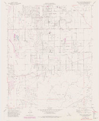
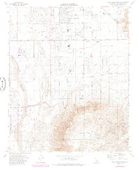
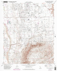
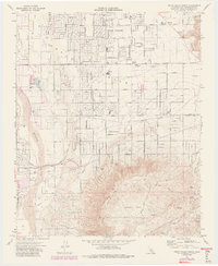
1971 Map of Apple Valley South
USGS Topo · Published 1980About this map
Apple Valley is captured here during a period of significant expansion across the high desert floor, where residential street grids like Nisqually Road and Ottawa Road push into the arid landscape. The map reveals a transition from agricultural and ranching operations toward a suburban community center, centered around local institutions like Yucca Loma Sch and the Mariana Sch. The western edge is defined by the Mojave River and the riparian corridor of Deep Creek, while the southern reaches rise into the Ord Mountains.
Find a feature on this map
39 named features on this map. Tap any name to fly to it.
Don’t see what you’re looking for? This feature index may not catch every label — zoom into the map to look around manually.
Map Details
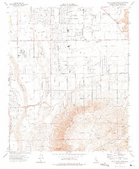
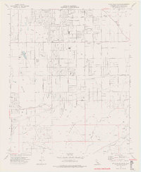
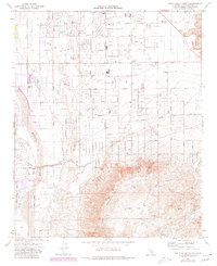
Editions of this 1971 Apple Valley South Map
7 editions found
Other maps of this area

1901 · Southern California Sheet No. 1
USGS Topo · 1:250,000

1902 · Deep Creek
USGS Topo · 1:62,500

1902 · Hesperia
USGS Topo · 1:62,500

1904 · Southern California Sheet No. 1
USGS Topo · 1:250,000

1932 · Barstow
USGS Topo · 1:125,000

1934 · Barstow
USGS Topo · 1:125,000

1942 · Hesperia
USGS Topo · 1:62,500

1953 · San Bernardino
USGS Topo · 1:250,000

1956 · San Bernardino
USGS Topo · 1:250,000
1956 · Hesperia
USGS Topo · 1:24,000