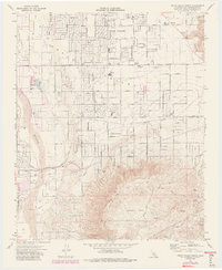
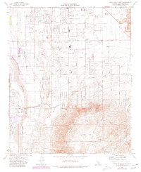
1971 Map of Apple Valley South
USGS Topo · Published 1985About this map
Apple Valley is shown during a period of significant expansion across the High Desert, where residential street grids like Ottawa Road and Wren Street push into the arid landscape. The transitional nature of the era is visible in the mix of established outposts like Jess Ranch and the Lone Wolf Colony alongside newer institutional sites such as Yucca Loma Sch and Mariana Sch. The Mojave River winds along the western edge, providing a stark contrast to the rising slopes of the Ord Mountains and the expanse of Juniper Flats to the southeast.
Find a feature on this map
32 named features on this map. Tap any name to fly to it.
Don’t see what you’re looking for? This feature index may not catch every label — zoom into the map to look around manually.
Map Details
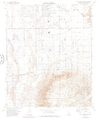
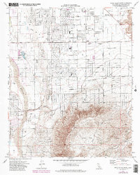
Editions of this 1971 Apple Valley South Map
7 editions found
Other maps of this area

1901 · Southern California Sheet No. 1
USGS Topo · 1:250,000

1902 · Deep Creek
USGS Topo · 1:62,500

1902 · Hesperia
USGS Topo · 1:62,500

1904 · Southern California Sheet No. 1
USGS Topo · 1:250,000

1932 · Barstow
USGS Topo · 1:125,000

1934 · Barstow
USGS Topo · 1:125,000

1942 · Hesperia
USGS Topo · 1:62,500

1953 · San Bernardino
USGS Topo · 1:250,000

1956 · San Bernardino
USGS Topo · 1:250,000
1956 · Hesperia
USGS Topo · 1:24,000