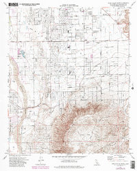
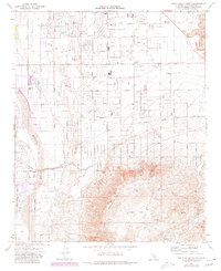
1971 Map of Apple Valley South
USGS Topo · Published 1985About this map
The Mojave River defines the western edge of this High Desert landscape, where the growing residential grid of Apple Valley meets the rising terrain of Juniper Flats. This 1971 survey captures the town's mid-century expansion, evidenced by the proliferation of schools like Mariana Sch and Yucca Loma Sch, alongside local landmarks like the Fish Hatchery at Jess Ranch. Transportation routes are central to the area's development, with the Atchison Topeka and Santa Fe railroad corridor and the Bear Valley Cutoff providing vital connections across the arid basin. To the east, the map details the distinct layouts of Mariana Ranch and the Lone Wolf Colony, illustrating the varied styles of desert settlement and ranching that shaped the region before more modern suburbanization.
Find a feature on this map
39 named features on this map. Tap any name to fly to it.
Don’t see what you’re looking for? This feature index may not catch every label — zoom into the map to look around manually.
Map Details
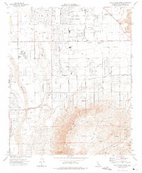
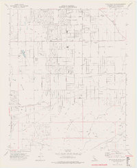
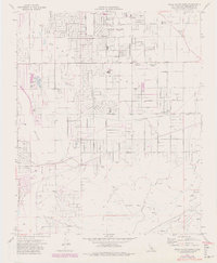
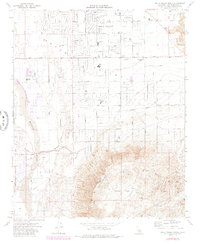
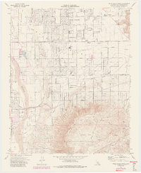
Editions of this 1971 Apple Valley South Map
7 editions found
Other maps of this area

1901 · Southern California Sheet No. 1
USGS Topo · 1:250,000

1902 · Deep Creek
USGS Topo · 1:62,500

1902 · Hesperia
USGS Topo · 1:62,500

1904 · Southern California Sheet No. 1
USGS Topo · 1:250,000

1932 · Barstow
USGS Topo · 1:125,000

1934 · Barstow
USGS Topo · 1:125,000

1942 · Hesperia
USGS Topo · 1:62,500

1953 · San Bernardino
USGS Topo · 1:250,000

1956 · San Bernardino
USGS Topo · 1:250,000
1956 · Hesperia
USGS Topo · 1:24,000