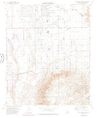
1971 Map of Apple Valley South
USGS Topo · Published 1985About this map
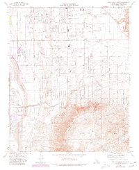
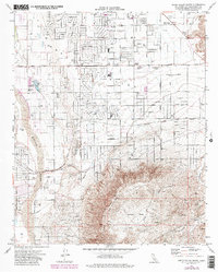
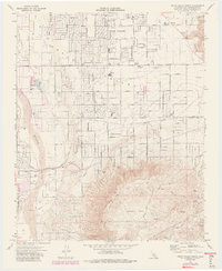
Apple Valley sits at a geographic crossroads in the high desert, where residential expansion meets the historical water and rail corridors of the Mojave. This survey reveals a community in transition during the early 1970s, with residential street grids like Powhatan Rd and Ottawa Road established north of the Bear Valley Cutoff. The presence of the Fish Hatchery near Jess Ranch and the outlier settlement at Lone Wolf Colony highlights the varied land use between the Mojave River and the rising elevations of Juniper Flats. To the south, the landscape shifts abruptly into the steep terrain of the Mountains, where features like Arrastre Canyon and Rock Springs mark the transition from suburban development to the open desert. The Atchison Topeka and Santa Fe railroad line cuts through the central valley, anchoring the local economy to this critical regional transit artery.
Find a feature on this map
71 named features on this map. Tap any name to fly to it.
Don’t see what you’re looking for? This feature index may not catch every label — zoom into the map to look around manually.
Map Details
Editions of this 1971 Apple Valley South Map
7 editions found
Other maps of this area

1901 · Southern California Sheet No. 1
USGS Topo · 1:250,000

1902 · Deep Creek
USGS Topo · 1:62,500

1902 · Hesperia
USGS Topo · 1:62,500

1904 · Southern California Sheet No. 1
USGS Topo · 1:250,000

1932 · Barstow
USGS Topo · 1:125,000

1934 · Barstow
USGS Topo · 1:125,000

1942 · Hesperia
USGS Topo · 1:62,500

1953 · San Bernardino
USGS Topo · 1:250,000

1956 · San Bernardino
USGS Topo · 1:250,000
1956 · Hesperia
USGS Topo · 1:24,000