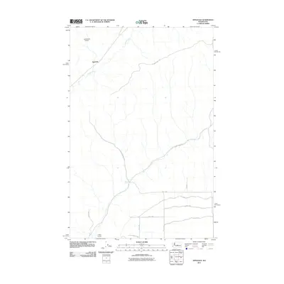
2011 Map of Appledale
USGS Topo · Published 2011About this map
Douglas Creek carves through the central portion of this landscape, anchoring the small settlement of Appledale. The terrain is defined by dramatic geological formations typical of the region, including the northern reach of Sutherland Canyon and the southern Crater Coulee. This 2011 survey reveals a transition from these natural landforms to the structured agricultural grid common in Grant County, as evidenced by the dense network of county roads like Road 12 NW and S NW Rd that segment the southern plains. Further north, the landscape remains more open and dictated by the geography of the hills, with primary access provided by Baird Springs Rd and Willow Springs Rd near the community of Willow Springs. The map offers a clear view of how rural infrastructure navigates the coulees and canyons of Washington's interior.
Find a feature on this map
16 named features on this map. Tap any name to fly to it.
Don’t see what you’re looking for? This feature index may not catch every label — zoom into the map to look around manually.
Map Details
Editions of this 2011 Appledale Map
This is the sole edition of this map. No revisions or reprints were ever made.
Other maps of this area

1909 · Quincy
USGS Topo · 1:62,500

1910 · Quincy
USGS Topo · 1:62,500

1912 · Malaga
USGS Topo · 1:48,000

1914 · Malaga
USGS Topo · 1:62,500

1920 · Colockum Pass
USGS Topo · 1:125,000

1922 · Colockum Pass
USGS Topo · 1:125,000

1953 · Ritzville
USGS Topo · 1:250,000

1957 · Wenatchee
USGS Topo · 1:250,000

1959 · Ritzville
USGS Topo · 1:250,000

1965 · Ritzville
USGS Topo · 1:250,000