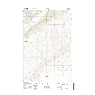
2014 Map of Appledale
USGS Topo · Published 2014About this map
Appledale sits near the crossing of Palisades Rd and the seasonal waters of Douglas Cr, marking a pocket of settlement along the border of Douglas and Grant counties. This 2014 survey illustrates a high-desert landscape defined by deep topographical depressions and high ridges, notably Badger Mtn and the sprawling Beezley Hills. The presence of Willow Springs and Baird Springs hints at the critical water sources that dictated early routing in this arid region. Significant erosional features like Sutherland Canyon, Lynch Coulee, and Crater Coulee dominate the terrain, while a meticulous grid of rural routes including Road 12 NW and Road 13 NW reveals the structured agricultural and ranching layout of the modern plateau.
Find a feature on this map
27 named features on this map. Tap any name to fly to it.
Don’t see what you’re looking for? This feature index may not catch every label — zoom into the map to look around manually.
Map Details
Editions of this 2014 Appledale Map
This is the sole edition of this map. No revisions or reprints were ever made.
Other maps of this area

1909 · Quincy
USGS Topo · 1:62,500

1910 · Quincy
USGS Topo · 1:62,500

1912 · Malaga
USGS Topo · 1:48,000

1914 · Malaga
USGS Topo · 1:62,500

1920 · Colockum Pass
USGS Topo · 1:125,000

1922 · Colockum Pass
USGS Topo · 1:125,000

1953 · Ritzville
USGS Topo · 1:250,000

1957 · Wenatchee
USGS Topo · 1:250,000

1959 · Ritzville
USGS Topo · 1:250,000

1965 · Ritzville
USGS Topo · 1:250,000