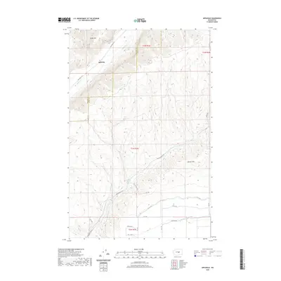
2020 Map of Appledale
USGS Topo · Published 2020About this map
Appledale sits at the northern end of this high plateau country, where the landscape is defined by dramatic coulees and deep drainages. The topography is dominated by the massive rise of Badger Mtn in the northwest and the Beezley Hills to the southeast, creating a high-relief environment between the Douglas Cr corridor and the managed waters of the Quincy Lateral Canal. The presence of natural water sources like Willow Springs and Baird Springs hints at the historic importance of these locations for early travelers and livestock in an otherwise arid region. A network of rural routes, including Palisades Rd Sw and Baird Springs Rd Nw, connects isolated homesteads and orchards. The transition from natural spring-fed drainages to modern irrigation infrastructure reflects the long-term adaptation of agriculture in this portion of Grant County.
Find a feature on this map
27 named features on this map. Tap any name to fly to it.
Don’t see what you’re looking for? This feature index may not catch every label — zoom into the map to look around manually.
Map Details
Editions of this 2020 Appledale Map
This is the sole edition of this map. No revisions or reprints were ever made.
Other maps of this area

1909 · Quincy
USGS Topo · 1:62,500

1910 · Quincy
USGS Topo · 1:62,500

1912 · Malaga
USGS Topo · 1:48,000

1914 · Malaga
USGS Topo · 1:62,500

1920 · Colockum Pass
USGS Topo · 1:125,000

1922 · Colockum Pass
USGS Topo · 1:125,000

1953 · Ritzville
USGS Topo · 1:250,000

1957 · Wenatchee
USGS Topo · 1:250,000

1959 · Ritzville
USGS Topo · 1:250,000

1965 · Ritzville
USGS Topo · 1:250,000