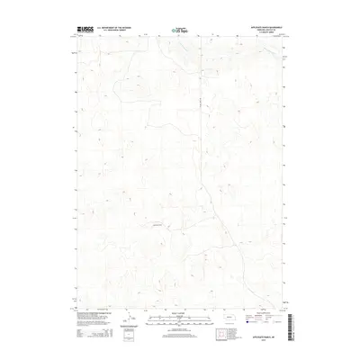
2014 Map of Applegate Ranch
USGS Topo · Published 2014About this map
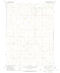
Applegate Ranch defines the central landscape of this western Nebraska terrain in the northern reaches of Lincoln County. The map documents a sparsely settled ranching environment characterized by complex topographic contours and high-plains drainages. The West Birdwood Cr flows across the northern section of the quadrangle, carving a distinct valley through the upland prairie. Transport in this isolated area is primarily represented by the Prairie Trace Rd, which serves as a north-south lifeline through the rolling sandhills. This 2014 survey captures the persistent rural character of the region, where named landmarks are rare and the land use is dictated by the natural flow of water and the requirements of large-scale cattle ranching.
Find a feature on this map
3 named features on this map. Tap any name to fly to it.
Don’t see what you’re looking for? This feature index may not catch every label — zoom into the map to look around manually.
Map Details
Editions of this 2014 Applegate Ranch Map
This is the sole edition of this map. No revisions or reprints were ever made.
Other maps of this area

1898 · Paxton
USGS Topo · 1:125,000

1901 · Paxton
USGS Topo · 1:125,000

1954 · North Platte
USGS Topo · 1:250,000

1956 · North Platte
USGS Topo · 1:250,000

1957 · North Platte
USGS Topo · 1:250,000

1967 · North Platte
USGS Topo · 1:250,000
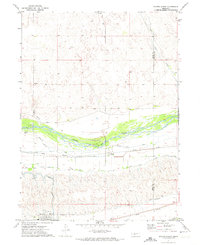
1971 · Paxton North
USGS Topo · 1:24,000
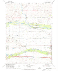
1971 · Hershey West
USGS Topo · 1:24,000
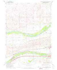
1971 · Sutherland Reservoir NW
USGS Topo · 1:24,000
1972 · Applegate Ranch
USGS Topo · 1:24,000