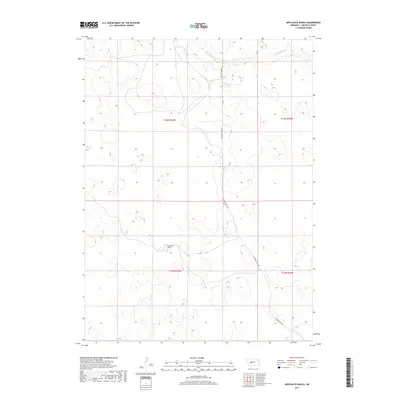
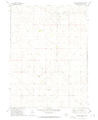
2017 Map of Applegate Ranch
USGS Topo · Published 2017About this map
Applegate Ranch serves as a lonely landmark in this high plains landscape of Lincoln County, Nebraska. This 2017 survey details a region defined by extensive sand hills and grazing land, where human infrastructure is sparse and tied primarily to ranching operations. The northern edge of the sheet is marked by the winding path of W Birdwood Cr, a vital water source in this semi-arid environment. Running north to south through the undulating terrain, N Prairie Trace Rd provides the primary transit corridor, cutting through the public land survey divisions of t16n r34w, t16n r33w, t15n r34w, and t15n r33w. This map captures the persistent character of Nebraska's ranching country, showing how modern land management follows the same sectional lines established generations ago.
Find a feature on this map
7 named features on this map. Tap any name to fly to it.
Don’t see what you’re looking for? This feature index may not catch every label — zoom into the map to look around manually.
Map Details
Editions of this 2017 Applegate Ranch Map
This is the sole edition of this map. No revisions or reprints were ever made.
Other maps of this area

1898 · Paxton
USGS Topo · 1:125,000

1901 · Paxton
USGS Topo · 1:125,000

1954 · North Platte
USGS Topo · 1:250,000

1956 · North Platte
USGS Topo · 1:250,000

1957 · North Platte
USGS Topo · 1:250,000

1967 · North Platte
USGS Topo · 1:250,000
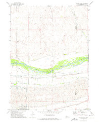
1971 · Paxton North
USGS Topo · 1:24,000
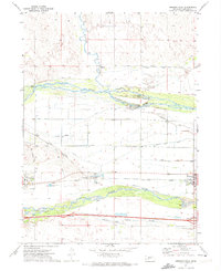
1971 · Hershey West
USGS Topo · 1:24,000
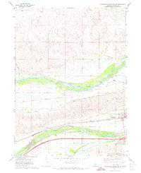
1971 · Sutherland Reservoir NW
USGS Topo · 1:24,000
1972 · Applegate Ranch
USGS Topo · 1:24,000