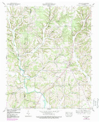
1950 Map of Appleton
USGS Topo · Published 1989About this map
Sugar Creek winds through the heart of this rural landscape, serving as a central geographic feature for the small communities established along its banks and tributaries. The settlement of Appleton and the crossroads at Minor Hill anchor the local economy, which appears deeply rooted in small-scale farming and commerce as evidenced by Williams Store and Thorne Store. The terrain is defined by a series of named hollows, including Miller Hollow and Givens Hollow, which funnel traffic toward the valley floors where social life centered around local congregations like Mt Zion Ch and Booth Chapel.
Find a feature on this map
56 named features on this map. Tap any name to fly to it.
Don’t see what you’re looking for? This feature index may not catch every label — zoom into the map to look around manually.
Map Details
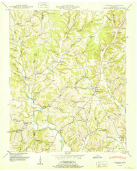
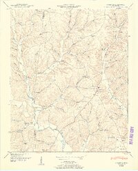
Editions of this 1950 Appleton Map
3 editions found
Other maps of this area

1914 · Rogersville
USGS Topo · 1:48,000

1916 · Rogersville
USGS Topo · 1:62,500

1936 · Union Hill
USGS Topo · 1:24,000

1936 · Aspen Hill
USGS Topo · 1:24,000

1936 · Lexington
USGS Topo · 1:24,000

1936 · Lawrenceburg
USGS Topo · 1:24,000

1936 · Pulaski
USGS Topo · 1:24,000

1936 · Bodenham
USGS Topo · 1:24,000

1936 · Appleton
USGS Topo · 1:24,000

1936 · Bonnertown
USGS Topo · 1:24,000