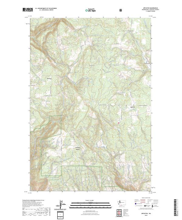
2023 Map of Appleton
USGS Topo · Published 2023About this map
Appleton and Snowden anchor this Klickitat County landscape, showing the persistent settlement patterns in the highlands above the Columbia River Gorge. The terrain is defined by a dense network of springs and drainages, including Baker Spring, Ellard Spring, and McGowen Spring, which feed into major watercourses like Rattlesnake Creek and Silva Creek. The northern reaches are marked by the broad drainage of Snyder Swale, while the southern border touches the Gifford Pinchot National Forest.
Find a feature on this map
60 named features on this map. Tap any name to fly to it.
Don’t see what you’re looking for? This feature index may not catch every label — zoom into the map to look around manually.
Map Details
Editions of this 2023 Appleton Map
This is the sole edition of this map. No revisions or reprints were ever made.
Other maps of this area

1934 · The Dalles
USGS Topo · 1:125,000

1953 · The Dalles
USGS Topo · 1:250,000

1956 · The Dalles
USGS Topo · 1:250,000

1957 · The Dalles
USGS Topo · 1:250,000

1957 · Klickitat
USGS Topo · 1:62,500

1957 · The Dalles
USGS Topo · 1:62,500

1957 · White Salmon
USGS Topo · 1:62,500

1957 · Husum
USGS Topo · 1:62,500

1974 · The Dalles North
USGS Topo · 1:24,000
1975 · Lyle
USGS Topo · 1:24,000