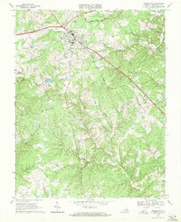
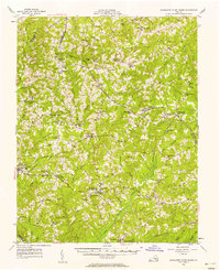
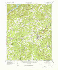
1968 Map of Appomattox
USGS Topo · Published 1971About this map
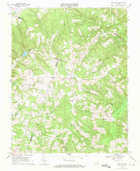
Appomattox Court House National Historical Park anchors the landscape north of the town of Appomattox, preserving the ground where the Civil War drew to a close. This 1968 survey shows the area at a point of modernization, with the Norfolk and Western railway cutting a straight line through the center of town. Educational and social institutions are well-marked, including the Carver Price Sch and Robert E Lee Academy.
Find a feature on this map
38 named features on this map. Tap any name to fly to it.
Don’t see what you’re looking for? This feature index may not catch every label — zoom into the map to look around manually.
Map Details
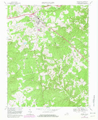
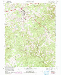
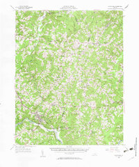
Editions of this 1968 Appomattox Map
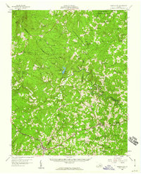
Other maps of this area

1892 · Appomattox
USGS Topo · 1:125,000

1947 · Roanoke
USGS Topo · 1:250,000
1956 · Brookneal
USGS Topo · 1:62,500
1956 · Charlotte Court House
USGS Topo · 1:62,500
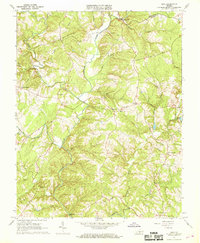
1958 · Appomattox
USGS Topo · 1:62,500
1958 · Pamplin City
USGS Topo · 1:62,500

1959 · Roanoke
USGS Topo · 1:250,000

1963 · Roanoke
USGS Topo · 1:250,000
1966 · Mike
USGS Topo · 1:24,000
1968 · Red House
USGS Topo · 1:24,000