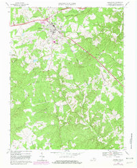
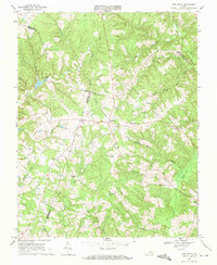
1968 Map of Appomattox
USGS Topo · Published 1981About this map
Appomattox Court House National Historical Park borders the northern edge of this Piedmont landscape, preserving the site where the American Civil War effectively ended. By the late 1960s, the nearby town of Appomattox had expanded south of the Norfolk and Western line, featuring modern developments like a Drive-in Theater and the Appomattox County High School.
Find a feature on this map
36 named features on this map. Tap any name to fly to it.
Don’t see what you’re looking for? This feature index may not catch every label — zoom into the map to look around manually.
Map Details
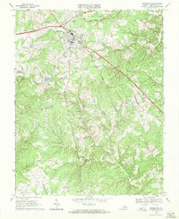
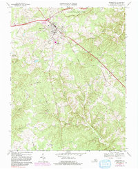
Editions of this 1968 Appomattox Map
Other maps of this area

1892 · Appomattox
USGS Topo · 1:125,000

1947 · Roanoke
USGS Topo · 1:250,000

1956 · Brookneal
USGS Topo · 1:62,500

1956 · Charlotte Court House
USGS Topo · 1:62,500

1958 · Appomattox
USGS Topo · 1:62,500

1958 · Pamplin City
USGS Topo · 1:62,500

1959 · Roanoke
USGS Topo · 1:250,000

1963 · Roanoke
USGS Topo · 1:250,000
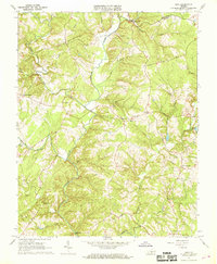
1966 · Mike
USGS Topo · 1:24,000
1968 · Red House
USGS Topo · 1:24,000