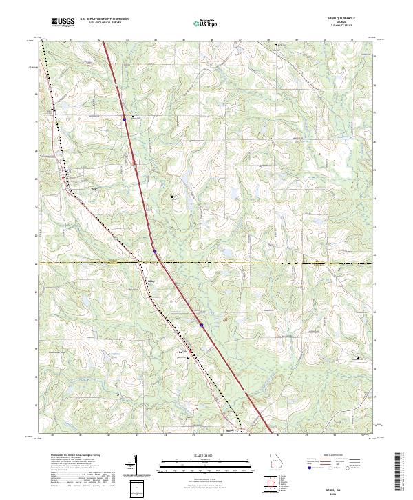
2024 Map of Arabi
USGS Topo · Published 2024About this map
Arabi sits at the heart of this South Georgia landscape, where the agricultural grid of Crisp and Turner counties is punctuated by small settlements and a network of family cemeteries. The terrain is defined by low-lying water systems, notably Lime Creek and the Sink of the Creek, which feed into the wider drainage of the West Fork Deep Creek. This modern survey illustrates the persistent importance of rural crossroads like Dakota and Sibley, even as contemporary infrastructure intersects the older landscape.
Find a feature on this map
90 named features on this map. Tap any name to fly to it.
Don’t see what you’re looking for? This feature index may not catch every label — zoom into the map to look around manually.
Map Details
Editions of this 2024 Arabi Map
This is the sole edition of this map. No revisions or reprints were ever made.
Other maps of this area

1953 · Waycross
USGS Topo · 1:250,000

1956 · Sylvester
USGS Topo · 1:62,500

1958 · Waycross
USGS Topo · 1:250,000

1972 · Cuffietown
USGS Topo · 1:24,000

1973 · Ashburn
USGS Topo · 1:24,000

1973 · Bethel
USGS Topo · 1:24,000
1974 · Pitts
USGS Topo · 1:24,000

1974 · Amboy
USGS Topo · 1:24,000
1974 · Cordele
USGS Topo · 1:24,000
1977 · Arabi
USGS Topo · 1:24,000