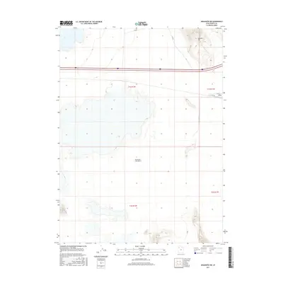
2017 Map of Aragonite NW
USGS Topo · Published 2017About this map
The Great Salt Lake Desert dominates this Tooele County landscape, where the flat, arid expanse of the salt crust meets the rising topography of the Grayback Hills in the northeast. This corner of Utah is defined by its isolation and the critical infrastructure that traverses it, most notably the heavy corridor of Interstate 80. The small settlement of Clive sits as a lonely outpost near the junction of Clive Rd and Clive Way, serving as a specialized industrial or transport hub within the desert. The map captures the rigid geometry of the Public Land Survey System, including Township 1 South, Range 12 West, overlaid across a terrain where water and vegetation are scarce, and the primary human footprint is found in the specialized network of the Clive Complex Rd.
Find a feature on this map
11 named features on this map. Tap any name to fly to it.
Don’t see what you’re looking for? This feature index may not catch every label — zoom into the map to look around manually.
Map Details
Editions of this 2017 Aragonite NW Map
This is the sole edition of this map. No revisions or reprints were ever made.
Other maps of this area

1953 · Tooele
USGS Topo · 1:250,000

1955 · Tooele
USGS Topo · 1:250,000

1973 · Ripple Valley
USGS Topo · 1:24,000

1973 · Knolls
USGS Topo · 1:24,000

1973 · Aragonite NW
USGS Topo · 1:24,000

1973 · Knolls SE
USGS Topo · 1:24,000

1973 · Grayback Hills
USGS Topo · 1:24,000

1973 · Aragonite SE
USGS Topo · 1:24,000

1973 · Aragonite SW
USGS Topo · 1:24,000
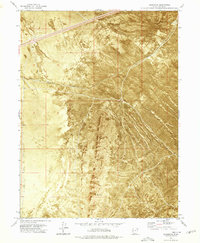
1973 · Aragonite
USGS Topo · 1:24,000