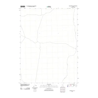
2010 Map of Aragonite SE
USGS Topo · Published 2010About this map
The arid landscape of Tooele County is defined here by the winding course of Cedar Mt Rd, which snakes along the eastern edge of this 2010 survey. This area represents a sparsely developed segment of the Utah desert, where the natural topography is the primary focus. The map details the subtle drainage patterns and contour lines that characterize this high-desert environment, showing very little in the way of permanent structures or human infrastructure beyond the established roadway. This makes the map a specific resource for understanding the remote terrain and access points within this portion of the Cedar Mountains before more modern developments or changes to the landscape occurred.
Find a feature on this map
1 named feature on this map. Tap any name to fly to it.
Don’t see what you’re looking for? This feature index may not catch every label — zoom into the map to look around manually.
Map Details
Editions of this 2010 Aragonite SE Map
This is the sole edition of this map. No revisions or reprints were ever made.
Other maps of this area

1885 · Tooele Valley
USGS Topo · 1:250,000

1953 · Tooele
USGS Topo · 1:250,000

1954 · Wig Mtn NW
USGS Topo · 1:24,000

1955 · Tabbys Peak
USGS Topo · 1:24,000

1955 · Wig Mtn NE
USGS Topo · 1:24,000

1955 · Tooele
USGS Topo · 1:250,000

1973 · Quincy Spring
USGS Topo · 1:24,000

1973 · Aragonite NW
USGS Topo · 1:24,000

1973 · Hastings Pass
USGS Topo · 1:24,000

1973 · Aragonite SE
USGS Topo · 1:24,000