
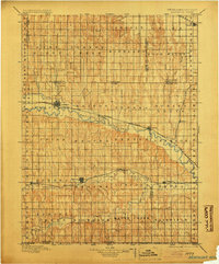
1896 Map of Arapahoe
USGS Topo · Published 1896About this map
The Republican River carves a winding path across the Nebraska prairie in this late nineteenth-century survey, anchoring a network of small agricultural settlements and nascent irrigation efforts. The Burlington and Missouri River RR follows the northern bank of the river, connecting trade hubs like Arapahoe and Oxford, while a southern branch of the railroad tracks along Beaver Creek to serve Hendley and Stamford. This alignment illustrates how the rail-and-river economy dictated the placement of grain elevators and town centers during the region's initial development.
Find a feature on this map
49 named features on this map. Tap any name to fly to it.
Don’t see what you’re looking for? This feature index may not catch every label — zoom into the map to look around manually.
Map Details
Editions of this 1896 Arapahoe Map
3 editions found
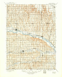
Other maps of this area

1893 · Norton
USGS Topo · 1:125,000

1893 · Phillipsburg
USGS Topo · 1:125,000

1896 · Lexington
USGS Topo · 1:125,000

1896 · Holdrege
USGS Topo · 1:125,000

1896 · Kearney
USGS Topo · 1:125,000

1898 · Arapahoe
USGS Topo · 1:125,000

1899 · Lexington
USGS Topo · 1:125,000

1902 · Gothenburg
USGS Topo · 1:125,000

1951 · Norton
USGS Topo · 1:62,500

1951 · Norcatur
USGS Topo · 1:62,500