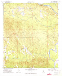
1971 Map of Ararat
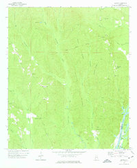
USGS Topo · Published 1975This historical map portrays the area of Ararat in 1971, primarily covering Choctaw County as well as portions of Clarke County. Featuring a scale of 1:24000, this map provides a highly detailed snapshot of the terrain, roads, buildings, counties, and historical landmarks in the Ararat region at the time. Published in 1975, it is one of 2 known editions of this map due to revisions or reprints.
Find a feature on this map
35 named features on this map. Tap any name to fly to it.
Don’t see what you’re looking for? This feature index may not catch every label — zoom into the map to look around manually.
Map Details
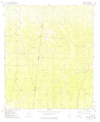
Editions of this 1971 Ararat Map
2 editions found
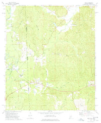
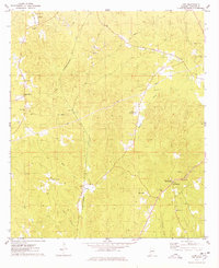
Historical Maps of Ararat Through Time
11 maps found
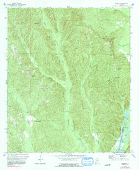
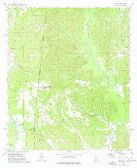
1971 Ararat
Choctaw County, AL
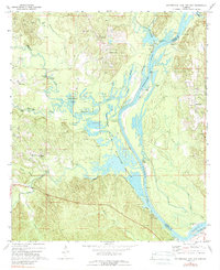
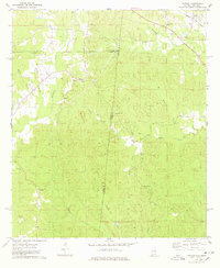
1971 Coffeeville Lock And Dam
Choctaw County, AL
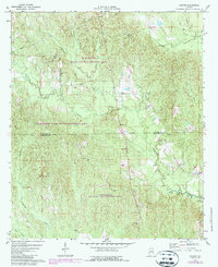
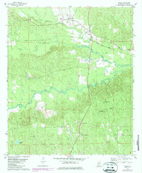
1971 Gaston
Choctaw County, AL
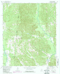
1971 Whitfield
Choctaw County, AL
1974 Hinton
Choctaw County, AL
1974 Isney
Choctaw County, AL
1974 Land
Choctaw County, AL
1974 Melvin
Choctaw County, AL
1974 Yantley
Choctaw County, AL
1978 Jachin
Choctaw County, AL
1978 Melvin
Choctaw County, AL