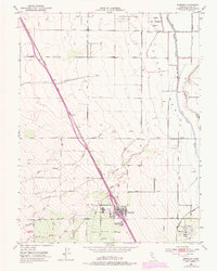
1952 Map of Arbuckle
USGS Topo · Published 1974About this map
The settlement of Arbuckle sits at the heart of this Central Valley landscape, organized along the Southern Pacific railroad line that cuts diagonally across the terrain. To the south, College City reflects a structured grid of orchards and local streets like Almond Ave and Rough Ave, illustrating the agricultural development of southern Colusa County in the mid-20th century. The northern portion of the map transitions into the Colusa National Wildlife Refuge, where the Colusa Trough and Colusa Basin manage the region's complex water flow.
Find a feature on this map
29 named features on this map. Tap any name to fly to it.
Don’t see what you’re looking for? This feature index may not catch every label — zoom into the map to look around manually.
Map Details
Editions of this 1952 Arbuckle Map
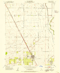
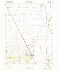
3 editions found
Other maps of this area

1888 · Marysville
USGS Topo · 1:125,000

1891 · Marysville
USGS Topo · 1:125,000

1894 · Marysville
USGS Topo · 1:125,000

1895 · Marysville
USGS Topo · 1:125,000

1905 · Harrington
USGS Topo · 1:24,000

1907 · Dunnigan
USGS Topo · 1:62,500

1907 · Colusa
USGS Topo · 1:62,500

1911 · Grimes
USGS Topo · 1:31,680

1912 · Meridian
USGS Topo · 1:31,680

1916 · Harrington
USGS Topo · 1:31,680