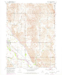
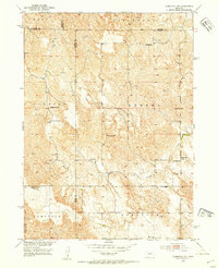
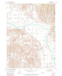
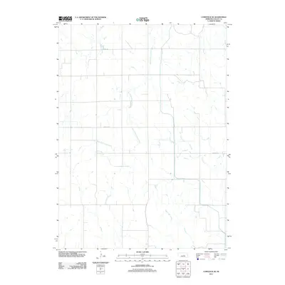
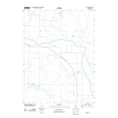
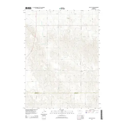
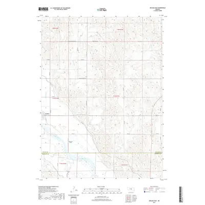
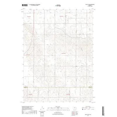
1951 Map of Arcadia East
USGS Topo · Published 1978About this map
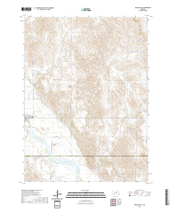
The Middle Loup River valley defines this mid-century landscape on the border of Valley and Sherman counties. A heavy concentration of rural schoolhouses, including the Old Yale School, Arbordale Sch, and Glendale Sch, suggests a densely settled farming community where educational hubs were spaced for local accessibility. The village of Arcadia serves as the primary settlement, positioned where the Burlington Northern railroad follows the river's path through the Arcadia and Washington precincts. Beyond the river bottom, the map detail extends into the dissected plains of the Liberty and Vinton townships. The presence of irrigation infrastructure like Canal No 4 and Canal No 3 reflects the region's agricultural development within the Missouri River Basin program, while local history is preserved at sites like the Balsora Cem.
Find a feature on this map
23 named features on this map. Tap any name to fly to it.
Don’t see what you’re looking for? This feature index may not catch every label — zoom into the map to look around manually.
Map Details
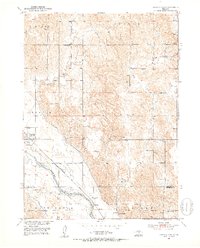
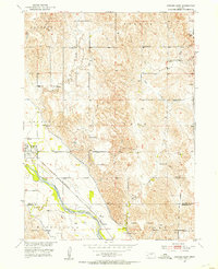
Editions of this 1951 Arcadia East Map
3 editions found
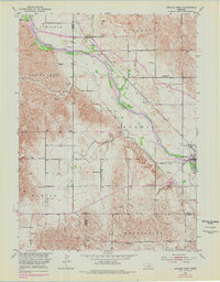
Historical Maps of Arcadia Through Time
40 maps found
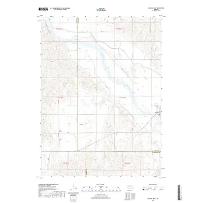
1951 Arcadia East
Valley County, NE
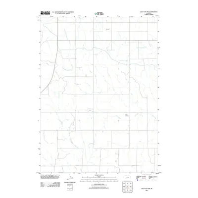
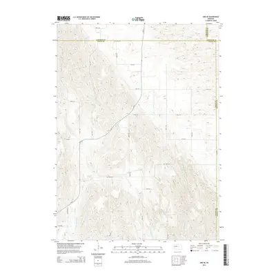
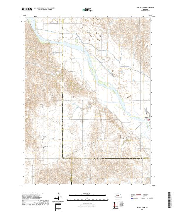
1951 Arcadia West
Valley County, NE
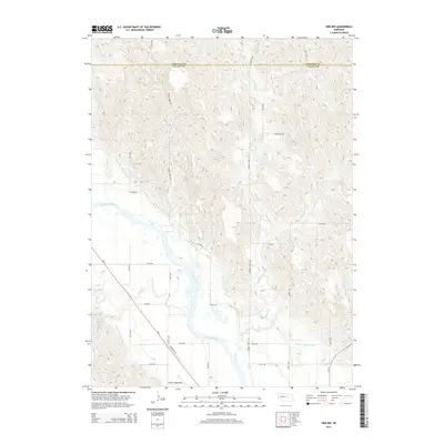
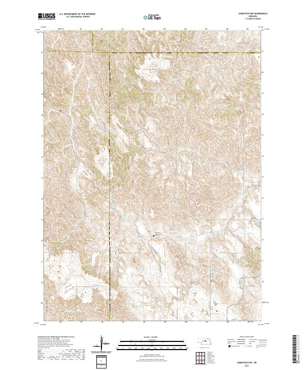
1952 Comstock NW
Valley County, NE
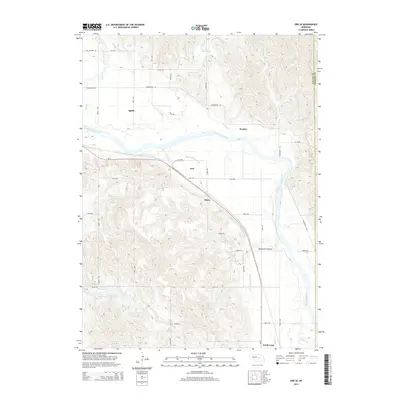
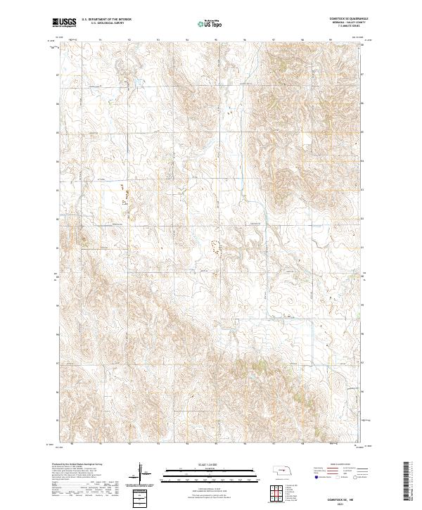
1952 Comstock SE
Valley County, NE
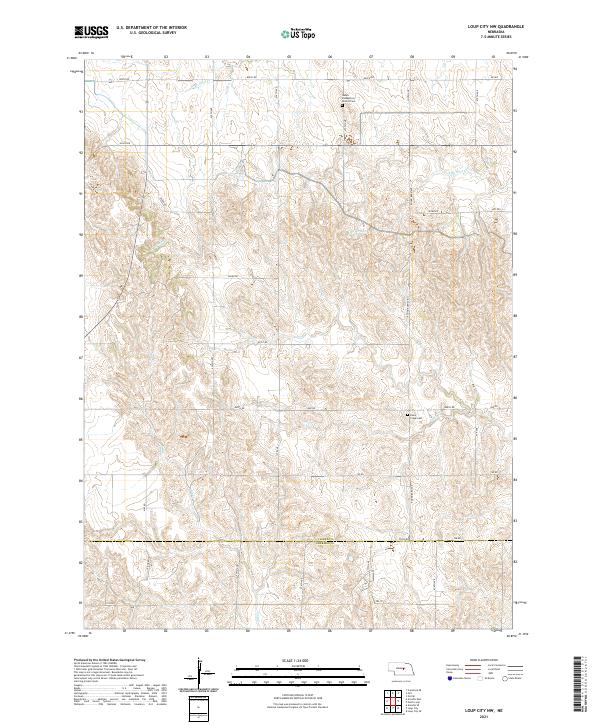
1953 Loup City NW
Valley County, NE
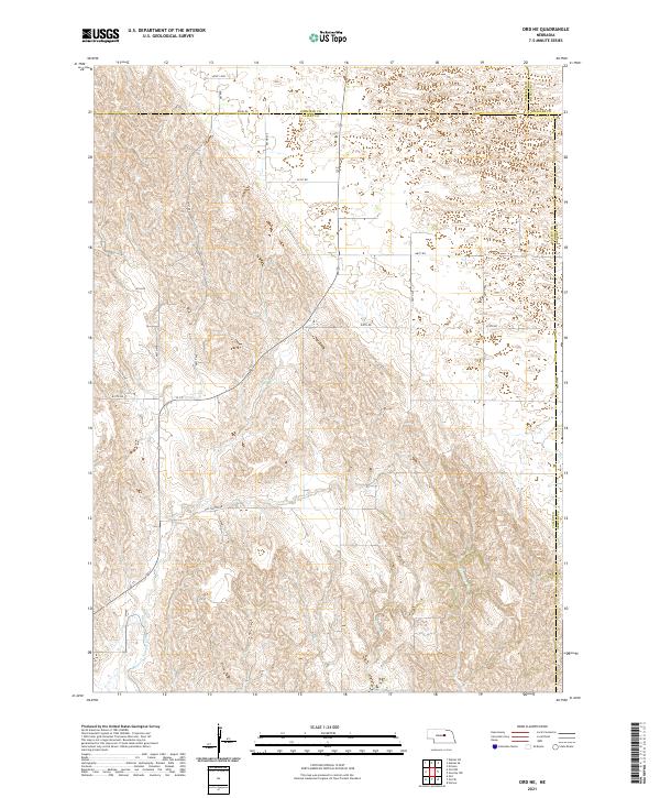
1954 Ord NE
Valley County, NE

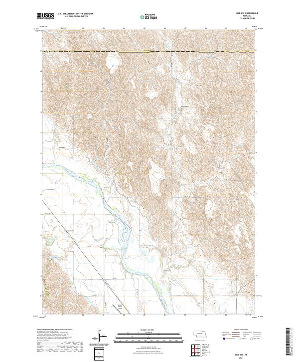
1954 Ord NW
Valley County, NE
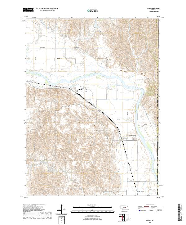
1954 Ord SE
Valley County, NE
2011 Arcadia East
Valley County, NE
2011 Arcadia West
Valley County, NE
2011 Comstock NW
Valley County, NE
2011 Comstock SE
Valley County, NE
2011 Loup City NW
Valley County, NE
2011 Ord NE
Valley County, NE
2011 Ord NW
Valley County, NE
2011 Ord SE
Valley County, NE
2014 Arcadia East
Valley County, NE
2014 Arcadia West
Valley County, NE
2014 Comstock NW
Valley County, NE

2014 Comstock SE
Valley County, NE
2014 Loup City NW
Valley County, NE
2014 Ord NE
Valley County, NE
2014 Ord NW
Valley County, NE
2014 Ord SE
Valley County, NE
2017 Arcadia East
Valley County, NE
2017 Arcadia West
Valley County, NE
2017 Comstock NW
Valley County, NE
2017 Comstock SE
Valley County, NE
2017 Loup City NW
Valley County, NE
2017 Ord NE
Valley County, NE
2017 Ord NW
Valley County, NE
2017 Ord SE
Valley County, NE
2021 Arcadia East
Valley County, NE
2021 Arcadia West
Valley County, NE
2021 Comstock NW
Valley County, NE
2021 Comstock SE
Valley County, NE
2021 Loup City NW
Valley County, NE
2021 Ord NE
Valley County, NE
2021 Ord NW
Valley County, NE
2021 Ord SE
Valley County, NE