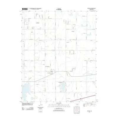
2012 Map of Arcadia
USGS Topo · Published 2012About this map
The town of Arcadia and the adjacent settlement at Lake Hiwassee define this central Oklahoma landscape as it appeared in the early 21st century. The area is marked by a deep-rooted community history, visible through numerous burial sites like the Arcadia Independent Order of Odd Fellows Cem and Tudor Cem. These landmarks, along with the Donnell Cem, Gower Cem, and Sweat Cem, offer significant resources for genealogical research into the families of Oklahoma County.
Find a feature on this map
91 named features on this map. Tap any name to fly to it.
Don’t see what you’re looking for? This feature index may not catch every label — zoom into the map to look around manually.
Map Details
Editions of this 2012 Arcadia Map
This is the sole edition of this map. No revisions or reprints were ever made.
Other maps of this area

1892 · Guthrie
USGS Topo · 1:62,500

1892 · Edmond
USGS Topo · 1:62,500

1909 · Luther
USGS Topo · 1:62,500

1909 · Perkins
USGS Topo · 1:62,500

1935 · Spencer
USGS Topo · 1:24,000

1935 · Edmond
USGS Topo · 1:48,000

1940 · Edmond
USGS Topo · 1:62,500

1954 · Oklahoma City
USGS Topo · 1:250,000
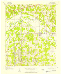
1955 · Jones
USGS Topo · 1:24,000

1956 · Horseshoe Lake
USGS Topo · 1:24,000