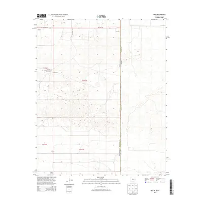
2013 Map of Arch NE
USGS Topo · Published 2013About this map
Portales Valley defines the lower reaches of this High Plains landscape, where the agricultural legacy of Roosevelt County meets the Texas state line. The map captures a transition in local land use, from large-scale ranching operations like the Blackwater Land and Cattle Company and Coldwater Ranch to more modern dairy facilities such as Milagro Dairy and Crosswinds Dairy. The tiny settlement of Purchell sits near the southern edge of the quadrangle, connected by a network of county roads including S Roosevelt Road 8 and Blackwater Rd. A distinct jurisdictional boundary is visible along St Border Rd, which follows the straight north-south line separating New Mexico from Texas. This grid-heavy landscape reflects the enduring influence of the Public Land Survey System, with township and range markers such as t1s r37e overlaying the terrain.
Find a feature on this map
18 named features on this map. Tap any name to fly to it.
Don’t see what you’re looking for? This feature index may not catch every label — zoom into the map to look around manually.
Map Details
Editions of this 2013 Arch NE Map
This is the sole edition of this map. No revisions or reprints were ever made.
Other maps of this area

1954 · Clovis
USGS Topo · 1:250,000

1957 · Clovis
USGS Topo · 1:62,500

1957 · Arch
USGS Topo · 1:62,500

1958 · Clovis
USGS Topo · 1:250,000

1962 · Stegall
USGS Topo · 1:24,000

1962 · Birdwell Ranch
USGS Topo · 1:24,000

1963 · Lariat
USGS Topo · 1:24,000

1985 · Midway
USGS Topo · 1:24,000

1985 · Pleasure Lake
USGS Topo · 1:24,000

1985 · Muleshoe
USGS Topo · 1:100,000