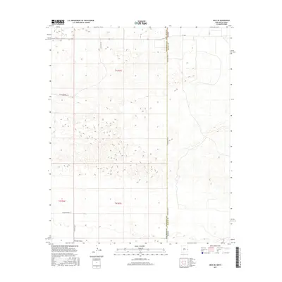
2017 Map of Arch NE
USGS Topo · Published 2017About this map
The Portales Valley defines the landscape of this high plains region, where the border between New Mexico and Texas cuts a straight line through the basin. This 2017 survey illustrates the intersection of Roosevelt County and Bailey County, capturing the precise geometry of the Public Land Survey System that governs the western territory. The terrain is marked by a network of rural routes such as Blackwater Rd and S Roosevelt Road A, which facilitate transit across the wide, open valley floor. These roads provide a clear view of the ranching and agricultural framework that persists in this borderland. The transition from New Mexico's t1s r37e to the Texas panhandle reveals a landscape shaped by both natural drainage patterns and the rigorous grid of human demarcation.
Find a feature on this map
13 named features on this map. Tap any name to fly to it.
Don’t see what you’re looking for? This feature index may not catch every label — zoom into the map to look around manually.
Map Details
Editions of this 2017 Arch NE Map
This is the sole edition of this map. No revisions or reprints were ever made.
Other maps of this area

1954 · Clovis
USGS Topo · 1:250,000

1957 · Clovis
USGS Topo · 1:62,500

1957 · Arch
USGS Topo · 1:62,500

1958 · Clovis
USGS Topo · 1:250,000

1962 · Stegall
USGS Topo · 1:24,000

1962 · Birdwell Ranch
USGS Topo · 1:24,000

1963 · Lariat
USGS Topo · 1:24,000

1985 · Midway
USGS Topo · 1:24,000

1985 · Pleasure Lake
USGS Topo · 1:24,000

1985 · Muleshoe
USGS Topo · 1:100,000