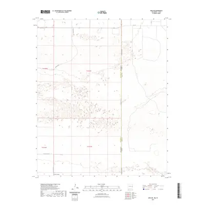
2023 Map of Arch NE
USGS Topo · Published 2023About this map
Portales Valley defines the lower third of this West Texas and New Mexico borderlands survey, where the low-lying terrain gives way to the characteristic depressional basins of the Llano Estacado. The landscape is marked by the straight-line geometry of the Public Land Survey System, specifically townships t1s r37e and t2s r37e, which dictate the local grid of rural corridors. The map records the precise boundary where New Mexico meets Texas, a line followed closely by S Roosevelt Road A. While mostly open country, the map identifies a network of essential county and farm-to-market routes, including Blackwater Rd and Fm 1760, which facilitate movement across the Roosevelt and Bailey County line.
Find a feature on this map
13 named features on this map. Tap any name to fly to it.
Don’t see what you’re looking for? This feature index may not catch every label — zoom into the map to look around manually.
Map Details
Editions of this 2023 Arch NE Map
This is the sole edition of this map. No revisions or reprints were ever made.
Other maps of this area

1954 · Clovis
USGS Topo · 1:250,000

1957 · Clovis
USGS Topo · 1:62,500

1957 · Arch
USGS Topo · 1:62,500

1958 · Clovis
USGS Topo · 1:250,000

1962 · Stegall
USGS Topo · 1:24,000

1962 · Birdwell Ranch
USGS Topo · 1:24,000

1963 · Lariat
USGS Topo · 1:24,000

1985 · Midway
USGS Topo · 1:24,000

1985 · Pleasure Lake
USGS Topo · 1:24,000

1985 · Muleshoe
USGS Topo · 1:100,000