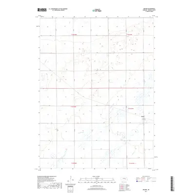
2017 Map of Archer
USGS Topo · Published 2017About this map
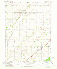
Archer serves as the central focal point of this Merrick County landscape, where the flat Nebraska terrain is defined by a dense network of sectional roads and meandering watercourses. The drainage patterns of Prairie Slough and Prairie Cr dominate the southeastern portion of the map, illustrating the hydrology of the Platte River valley. Further north, the land is etched by Elk Cr, while Moores Cr flows through the southern sections. This 2017 survey reveals the enduring precision of the Public Land Survey System, with a rigid grid of thoroughfares like V Rd and 9th Rd framing large agricultural tracts. The layout of Archer itself is centered around Tazewell St, providing a clear look at the village's footprint within the broader T14N R7W township structure.
Find a feature on this map
26 named features on this map. Tap any name to fly to it.
Don’t see what you’re looking for? This feature index may not catch every label — zoom into the map to look around manually.
Map Details
Editions of this 2017 Archer Map
This is the sole edition of this map. No revisions or reprints were ever made.
Other maps of this area

1899 · St. Paul
USGS Topo · 1:125,000

1955 · Belgrade SW
USGS Topo · 1:24,000

1955 · Broken Bow
USGS Topo · 1:250,000

1955 · Belgrade SE
USGS Topo · 1:24,000

1955 · Cushing
USGS Topo · 1:24,000

1956 · Broken Bow
USGS Topo · 1:250,000
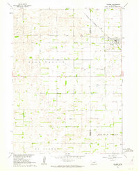
1961 · Palmer
USGS Topo · 1:24,000
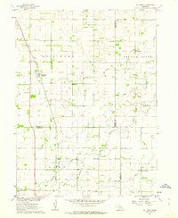
1961 · St. Libory
USGS Topo · 1:24,000
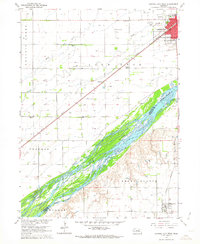
1962 · Central City West
USGS Topo · 1:24,000
1962 · Chapman
USGS Topo · 1:24,000