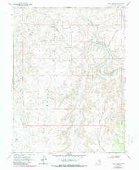
1968 Map of Archy Bench
USGS Topo · Published 1987About this map
The White River carves a dramatic, looping path through the northeastern corner of this Uintah County landscape, its winding course defining the local geography alongside Bitter Creek. This 1968 survey reveals an area heavily shaped by mid-century energy development, dominated by the extensive Bitter Creek Gas Field. The terrain is characterized by broad elevated flats like Archy Bench and East Bench, which are bisected by an intricate network of an Aboveground Pipeline and numerous Gas Wells. Remote infrastructure including Landing Strips and a Storage Bin suggests the logistical demands of operating in this isolated basin. Beyond the industrial footprint, the map records more traditional land use through several Prospects and a Jeep Trail that snakes across the southern ridges.
Find a feature on this map
21 named features on this map. Tap any name to fly to it.
Don’t see what you’re looking for? This feature index may not catch every label — zoom into the map to look around manually.
Map Details
Editions of this 1968 Archy Bench Map
2 editions found
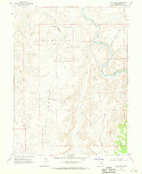
Other maps of this area

1885 · East Tavaputs
USGS Topo · 1:250,000

1885 · Ashley
USGS Topo · 1:250,000

1907 · Jensen
USGS Topo · 1:125,000

1910 · Jensen
USGS Topo · 1:125,000

1917 · Vernal
USGS Topo · 1:125,000

1954 · Vernal
USGS Topo · 1:250,000

1956 · Grand Junction
USGS Topo · 1:250,000

1958 · Vernal
USGS Topo · 1:250,000

1959 · Grand Junction
USGS Topo · 1:250,000

1960 · Vernal
USGS Topo · 1:250,000