Loading...
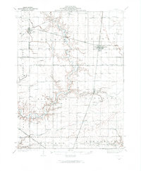
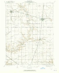
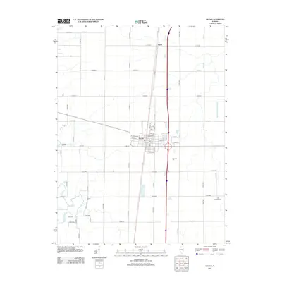
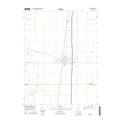
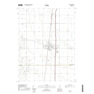
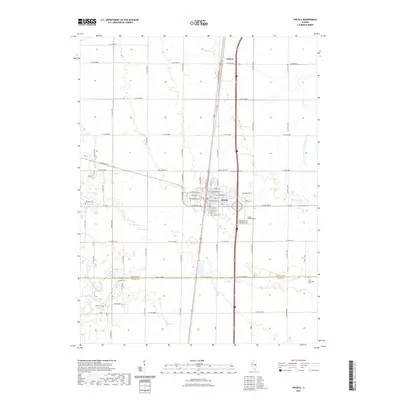
Loading map...1935 Map of Arcola
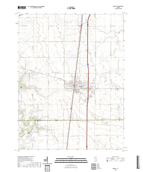
USGS Topo · Published 1973About this map
The Kaskaskia River carves a winding path through this central Illinois landscape, serving as a primary drainage for the agricultural heartland between Arthur and Arcola. In the mid-1930s, the region was defined by a dense network of one-room schoolhouses, such as Little Red Sch and Business Knoll Sch, which anchored rural life every few miles. Significant local history is found at the numerous rural houses of worship, including Mt Zion Ch and Union Prairie Ch, alongside quiet burying grounds like Yoder Cem.
Find a feature on this map
80 named features on this map. Tap any name to fly to it.
Don’t see what you’re looking for? This feature index may not catch every label — zoom into the map to look around manually.
Map Details
Date Portrayed1935
Date Published1973
PublisherU.S. Geological Survey
Map TypeTopographic
Scale1:62,500
Physical Dimensions18.1 x 21.9 inches
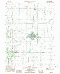
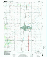
Editions of this 1935 Arcola Map
3 editions found

Historical Maps of Mattoon Through Time
9 maps found

Featured Locations
Source Details
SourceU.S. Geological Survey
CopyrightPublic Domain