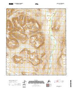
2018 Map of Arctic A-2 NE
USGS Topo · Published 2018About this map
The Koness River winds through the eastern portion of this remote interior Alaska landscape, defining the primary drainage for the surrounding terrain. This 2018 survey emphasizes the natural hydrography and topography of the Yukon-Koyukuk Census Area, illustrating the complex network of seasonal tributaries and wetlands that feed into the river system. The map provides a detailed view of the township and range divisions, including T14s R31e, T14s R32e, and T15s R32e, which serve as the primary human-imposed grid over this otherwise untouched wilderness. Unlike more developed regions, the absence of roads or settlements here highlights the sheer isolation of the northern Alaskan interior during the early twenty-first century.
Find a feature on this map
7 named features on this map. Tap any name to fly to it.
Don’t see what you’re looking for? This feature index may not catch every label — zoom into the map to look around manually.
Map Details
Editions of this 2018 Arctic A-2 NE Map
This is the sole edition of this map. No revisions or reprints were ever made.
Other maps of this area

1951 · Arctic
USGS Topo · 1:250,000

1956 · Arctic
USGS Topo · 1:250,000
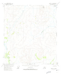
1972 · Arctic A-1
USGS Topo · 1:63,360

1972 · Arctic A-2
USGS Topo · 1:63,360

1983 · Arctic B-2
USGS Topo · 1:63,360
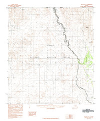
1983 · Arctic B-1
USGS Topo · 1:63,360
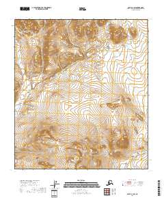
2018 · Arctic B-1 SW
USGS Topo · 1:25,000
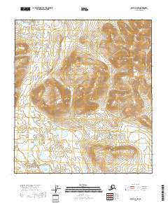
2018 · Arctic A-2 NW
USGS Topo · 1:25,000
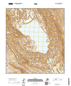
2018 · Arctic A-2 SW
USGS Topo · 1:25,000
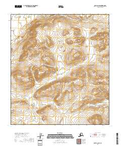
2018 · Arctic B-2 SW
USGS Topo · 1:25,000