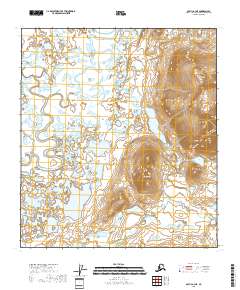
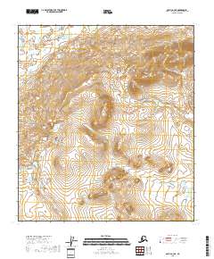
2018 Map of Arctic A-3 NE
USGS Topo · Published 2018About this map
Arctic Village sits at the western edge of this interior landscape, where the Junjik River and the East Fork Chandalar River define the local hydrography. The terrain transitions from low-lying wetlands and complex lake systems, such as Duitatuk Lake and Chottsik Lake, into prominent elevations to the east. High points like Tikyitsal Mtn and Swan Mtn overlook a dense network of water bodies including Blackfish Lake and Redfish Lake. The drainage patterns are further marked by Tritt Cr and Deadman Cr, which navigate the spaces between these peaks. This 2018 survey documents a remote subarctic environment where the seasonal movement of water across features like Coming Portage Lake and Vettekwi Lake remains the primary geographical influence on the settlement and surrounding wilderness.
Find a feature on this map
20 named features on this map. Tap any name to fly to it.
Don’t see what you’re looking for? This feature index may not catch every label — zoom into the map to look around manually.
Map Details
Editions of this 2018 Arctic A-3 NE Map
This is the sole edition of this map. No revisions or reprints were ever made.
Other maps of this area

1951 · Arctic
USGS Topo · 1:250,000

1956 · Arctic
USGS Topo · 1:250,000

1972 · Arctic A-3
USGS Topo · 1:63,360

1972 · Arctic A-2
USGS Topo · 1:63,360

1983 · Arctic B-2
USGS Topo · 1:63,360

1983 · Arctic B-3
USGS Topo · 1:63,360
2018 · Arctic A-2 NW
USGS Topo · 1:25,000
2018 · Arctic A-2 SW
USGS Topo · 1:25,000
2018 · Arctic B-2 SW
USGS Topo · 1:25,000
2018 · Arctic A-3 SE
USGS Topo · 1:25,000