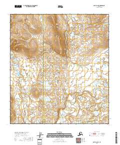
2018 Map of Arctic A-4 SE
USGS Topo · Published 2018About this map
East Fork Chandalar River winds through the southern reaches of this interior Alaskan landscape, defining the local drainage system as it snakes through low-lying marshy terrain. The survey reflects a transition from the elevated peaks of the Ottertail Ridge to the broad river valley below. In the northwestern corner, Crow Nest Rock stands as a prominent landmark above the headwaters of Crow Nest Creek. This map also delineates the administrative boundary between the North Slope Borough and the Yukon-Koyukuk Census Area, cutting vertically across the wilderness. The lack of roads or established settlements emphasizes the remote, undisturbed nature of the territory at the time of this 2018 update.
Find a feature on this map
12 named features on this map. Tap any name to fly to it.
Don’t see what you’re looking for? This feature index may not catch every label — zoom into the map to look around manually.
Map Details
Editions of this 2018 Arctic A-4 SE Map
This is the sole edition of this map. No revisions or reprints were ever made.
Other maps of this area

1951 · Christian
USGS Topo · 1:250,000

1951 · Arctic
USGS Topo · 1:250,000

1956 · Arctic
USGS Topo · 1:250,000

1956 · Christian
USGS Topo · 1:250,000

1972 · Arctic A-3
USGS Topo · 1:63,360
1972 · Arctic A-4
USGS Topo · 1:63,360
1990 · Christian D-4
USGS Topo · 1:63,360
1990 · Christian D-5
USGS Topo · 1:63,360
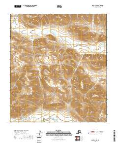
2018 · Arctic A-4 NW
USGS Topo · 1:25,000
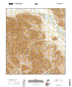
2018 · Arctic A-4 SW
USGS Topo · 1:25,000