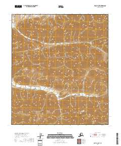
2018 Map of Arctic C-4 NE
USGS Topo · Published 2018About this map
The North Slope landscape of Alaska is defined by extreme relief and complex topographic contours in this northern frontier. Detailed survey data reveals a series of steep drainages and ridge lines organized by the Public Land Survey System grid, including boundaries for T8s R25e, T8s R26e, and T8s R27e. This map illustrates the transition from the high Brooks Range foothills down toward the Arctic coastal plain, showing the intricate hydrography of small mountain streams that feed into the region's larger river systems. Though devoid of named human settlements, the map provides a precise record of the natural terrain and the administrative divisions of T9s R26e and T9s R27e during the early 21st century.
Find a feature on this map
5 named features on this map. Tap any name to fly to it.
Don’t see what you’re looking for? This feature index may not catch every label — zoom into the map to look around manually.
Map Details
Editions of this 2018 Arctic C-4 NE Map
This is the sole edition of this map. No revisions or reprints were ever made.
Other maps of this area

1951 · Arctic
USGS Topo · 1:250,000

1956 · Arctic
USGS Topo · 1:250,000

1983 · Arctic C-3
USGS Topo · 1:63,360
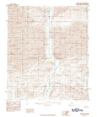
1983 · Arctic D-4
USGS Topo · 1:63,360
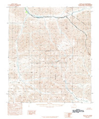
1983 · Arctic D-3
USGS Topo · 1:63,360
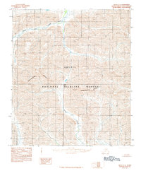
1983 · Arctic C-4
USGS Topo · 1:63,360
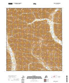
2018 · Arctic C-4 SW
USGS Topo · 1:25,000
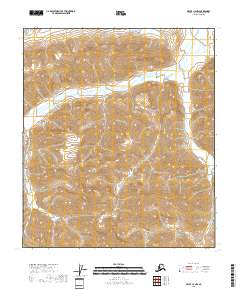
2018 · Arctic C-4 NW
USGS Topo · 1:25,000
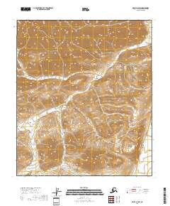
2018 · Arctic D-4 SW
USGS Topo · 1:25,000
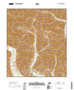
2018 · Arctic C-4 SE
USGS Topo · 1:25,000