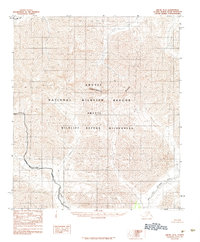
1983 Map of Arctic D-2
USGS Topo · Published 1984About this map
The Continental Divide traverses this remote section of the Brooks Range, marking the literal watershed between the Arctic Ocean and the Pacific drainage. This 1983 survey records a landscape shaped by the Alaska National Interest Lands Conservation Act, depicting the expansive Arctic National Wildlife Refuge and the dedicated Arctic Wildlife Refuge Wilderness. Glacial valleys and steep mountain slopes define the hydrology, with the northward-flowing Canning River contrasting against the headwaters of the East Fork Chandalar River in the south. The placement of the Wilderness Boundary and the proximity of Red Sheep Creek highlight the administrative and natural borders of one of the nation's most significant conservation areas during the early 1980s.
Find a feature on this map
8 named features on this map. Tap any name to fly to it.
Don’t see what you’re looking for? This feature index may not catch every label — zoom into the map to look around manually.
Map Details
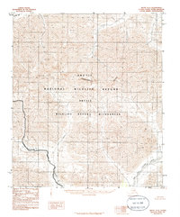
Editions of this 1983 Arctic D-2 Map
2 editions found
Other maps of this area

1951 · Arctic
USGS Topo · 1:250,000

1951 · Mt. Michelson
USGS Topo · 1:250,000

1956 · Arctic
USGS Topo · 1:250,000

1956 · Mt. Michelson
USGS Topo · 1:250,000

1983 · Mount Michelson A-3
USGS Topo · 1:63,360
1983 · Mount Michelson A-1
USGS Topo · 1:63,360

1983 · Mount Michelson A-2
USGS Topo · 1:63,360
1983 · Arctic C-1
USGS Topo · 1:63,360

1983 · Arctic C-3
USGS Topo · 1:63,360

1983 · Arctic C-2
USGS Topo · 1:63,360