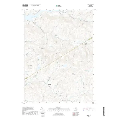
2019 Map of Arena
USGS Topo · Published 2019About this map
Pepacton Reservoir dominates the northwestern corner of this Catskill region terrain, where the hamlet of Arena sits near the water's edge. The landscape is defined by deep hollows and high ridges, including Barkaboom Mtn and Mill Brook Ridge, which separate the various brook and kill drainages. Historically significant structures are noted along these waterways, such as the Grants Mills Covered Bridge spanning Mill Brook and the Tuscarora Club Bridge further upstream.
Find a feature on this map
67 named features on this map. Tap any name to fly to it.
Don’t see what you’re looking for? This feature index may not catch every label — zoom into the map to look around manually.
Map Details
Editions of this 2019 Arena Map
This is the sole edition of this map. No revisions or reprints were ever made.
Other maps of this area

1901 · Margaretville
USGS Topo · 1:62,500

1904 · Margaretville
USGS Topo · 1:62,500

1910 · Neversink
USGS Topo · 1:62,500

1921 · Livingston Manor
USGS Topo · 1:62,500

1922 · Andes
USGS Topo · 1:62,500

1923 · Livingston Manor
USGS Topo · 1:62,500

1924 · Andes
USGS Topo · 1:62,500

1942 · Neversink
USGS Topo · 1:62,500

1943 · Monticello
USGS Topo · 1:125,000

1944 · Livingston Manor
USGS Topo · 1:62,500