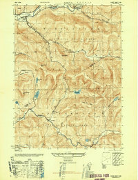
1946 Map of Arena
USGS Topo · Published 1946About this map
Arena sits at the northern edge of this high-elevation terrain, where the Branch Delaware River meets several incoming brooks. Much of the landscape is preserved within the Catskill State Park, characterized by steep ridges and isolated water bodies like Mountain Lake, Big Pond, and Alder Lake. The settlement pattern reflects the constraints of the topography, with small communities such as Grant Mills, Turnwood, and Hardenburg following the narrow valleys of the Mill Brook and Beaver Kill.
Find a feature on this map
36 named features on this map. Tap any name to fly to it.
Don’t see what you’re looking for? This feature index may not catch every label — zoom into the map to look around manually.
Map Details
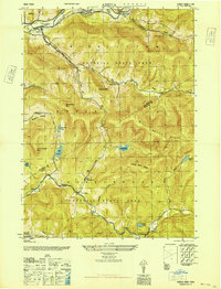
Editions of this 1946 Arena Map
2 editions found
Other maps of this area

1901 · Margaretville
USGS Topo · 1:62,500

1904 · Margaretville
USGS Topo · 1:62,500

1910 · Neversink
USGS Topo · 1:62,500

1921 · Livingston Manor
USGS Topo · 1:62,500

1922 · Andes
USGS Topo · 1:62,500

1923 · Livingston Manor
USGS Topo · 1:62,500

1924 · Andes
USGS Topo · 1:62,500

1942 · Neversink
USGS Topo · 1:62,500

1943 · Monticello
USGS Topo · 1:125,000

1944 · Livingston Manor
USGS Topo · 1:62,500