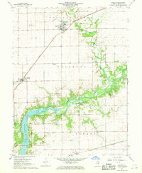
1967 Map of Argenta
USGS Topo · Published 1968About this map
Argenta and Oreana anchor this Macon County landscape, illustrating a classic Midwestern intersection of agriculture and transit during the mid-1960s. The northern reaches are defined by the Illinois Central railroad corridor, while the Sangamon River meanders across the center, eventually widening into the northern fingers of Lake Decatur at Faries Park. This river system and its tributaries, including Friends Creek and Kickapoo Creek, are surrounded by several small family and community burial grounds like Peck Cem and Ritchie Cem, which offer significant value for genealogical research. The map also captures local civic and religious landmarks, such as the Oakley Brick Ch, Union Ch, and the Berry Sch, many of which served the rural population of Whitmore and Oakley townships before the consolidation of local institutions.
Find a feature on this map
26 named features on this map. Tap any name to fly to it.
Don’t see what you’re looking for? This feature index may not catch every label — zoom into the map to look around manually.
Map Details
Editions of this 1967 Argenta Map
2 editions found
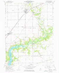
Other maps of this area

1929 · Decatur
USGS Topo · 1:62,500

1933 · Decatur
USGS Topo · 1:62,500

1937 · Monticello
USGS Topo · 1:48,000

1943 · Monticello
USGS Topo · 1:62,500

1955 · Bement
USGS Topo · 1:62,500

1957 · Maroa
USGS Topo · 1:62,500

1958 · Peoria
USGS Topo · 1:250,000

1958 · Decatur
USGS Topo · 1:250,000

1961 · Peoria
USGS Topo · 1:250,000

1961 · Decatur
USGS Topo · 1:250,000