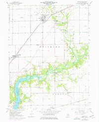
1967 Map of Argenta
USGS Topo · Published 1976About this map
Argenta and Oreana serve as the primary rail-oriented hubs in this 1960s agricultural corridor, connected by the Illinois Central tracks. The landscape transitions from the flat prairie townships of Friends Creek and Whitmore into the more complex topography surrounding the Sangamon River. A significant expansion of Lake Decatur is visible in the southwest, where the rising waters interact with the valley terrain near Faries Park.
Find a feature on this map
26 named features on this map. Tap any name to fly to it.
Don’t see what you’re looking for? This feature index may not catch every label — zoom into the map to look around manually.
Map Details
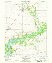
Editions of this 1967 Argenta Map
2 editions found
Other maps of this area

1929 · Decatur
USGS Topo · 1:62,500

1933 · Decatur
USGS Topo · 1:62,500

1937 · Monticello
USGS Topo · 1:48,000

1943 · Monticello
USGS Topo · 1:62,500

1955 · Bement
USGS Topo · 1:62,500

1957 · Maroa
USGS Topo · 1:62,500

1958 · Peoria
USGS Topo · 1:250,000

1958 · Decatur
USGS Topo · 1:250,000

1961 · Peoria
USGS Topo · 1:250,000

1961 · Decatur
USGS Topo · 1:250,000