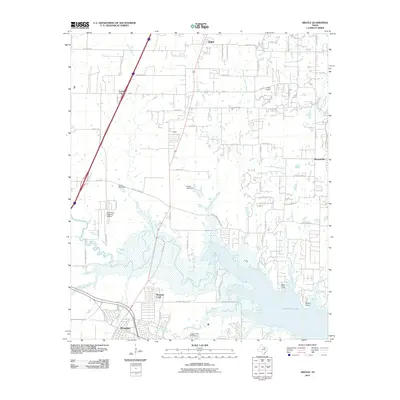
2010 Map of Argyle
USGS Topo · Published 2010About this map
Grapevine Lake and its northern tributaries dominate the southern landscape of this Denton County region during a period of suburban expansion. The transition from rural ranch land to residential corridors is evident in the network of farm-to-market roads, including FM 407 and FM 1171, which connect the growing communities of Argyle and Roanoke. Distinctive shoreline features like Bolo Point and Rocky Point mark the edges of the reservoir, while Marshall Creek Park occupies the low-lying wetlands where Denton Creek and Marshall Branch converge.
Find a feature on this map
67 named features on this map. Tap any name to fly to it.
Don’t see what you’re looking for? This feature index may not catch every label — zoom into the map to look around manually.
Map Details
Editions of this 2010 Argyle Map
This is the sole edition of this map. No revisions or reprints were ever made.
Other maps of this area

1894 · Fort Worth
USGS Topo · 1:125,000

1931 · Grapevine
USGS Topo · 1:62,500

1954 · Dallas
USGS Topo · 1:250,000

1954 · Sherman
USGS Topo · 1:250,000

1955 · Keller
USGS Topo · 1:24,000

1955 · Haltom City
USGS Topo · 1:62,500

1958 · Dallas
USGS Topo · 1:250,000

1958 · Sherman
USGS Topo · 1:250,000
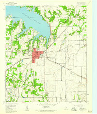
1959 · Grapevine
USGS Topo · 1:24,000
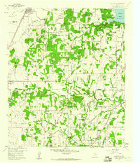
1959 · Colleyville
USGS Topo · 1:24,000