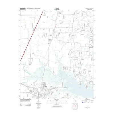
2013 Map of Argyle
USGS Topo · Published 2013About this map
Grapevine Lake dominates the southern landscape of this 2013 survey, where the waters meet the complex residential expansion of Marshall Creek and Roanoke. The terrain is defined by a series of small watercourses like Graveyard Br and Whites Br that drain toward the reservoir. The map documents the rapid suburban transformation of the Texas prairie, showing the distinct footprints of planned communities such as Lantana and established settlements like Argyle and Bartonville.
Find a feature on this map
45 named features on this map. Tap any name to fly to it.
Don’t see what you’re looking for? This feature index may not catch every label — zoom into the map to look around manually.
Map Details
Editions of this 2013 Argyle Map
This is the sole edition of this map. No revisions or reprints were ever made.
Other maps of this area

1894 · Fort Worth
USGS Topo · 1:125,000

1931 · Grapevine
USGS Topo · 1:62,500

1954 · Dallas
USGS Topo · 1:250,000

1954 · Sherman
USGS Topo · 1:250,000

1955 · Keller
USGS Topo · 1:24,000

1955 · Haltom City
USGS Topo · 1:62,500

1958 · Dallas
USGS Topo · 1:250,000

1958 · Sherman
USGS Topo · 1:250,000
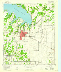
1959 · Grapevine
USGS Topo · 1:24,000
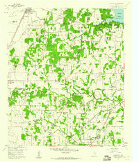
1959 · Colleyville
USGS Topo · 1:24,000