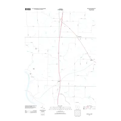
2013 Map of Argyle
USGS Topo · Published 2013About this map
The Des Moines River cuts through the southwestern corner of this landscape, where the Turkey Run Access provides an entry point to the water near Bryan Hill. The area is defined by a dense network of tributaries including Sugar Cr, Goose Cr, and Barlean Cr, which drain the agricultural uplands. Smaller settlements like Argyle and New Boston serve as local hubs for the surrounding farmsteads.
Find a feature on this map
39 named features on this map. Tap any name to fly to it.
Don’t see what you’re looking for? This feature index may not catch every label — zoom into the map to look around manually.
Map Details
Editions of this 2013 Argyle Map
This is the sole edition of this map. No revisions or reprints were ever made.
Other maps of this area

1903 · Kahoka
USGS Topo · 1:125,000

1936 · Keokuk
USGS Topo · 1:62,500

1936 · Fort Madison
USGS Topo · 1:62,500

1949 · Wayland
USGS Topo · 1:24,000

1949 · Kahoka
USGS Topo · 1:24,000

1950 · Kahoka
USGS Topo · 1:24,000

1950 · Wayland
USGS Topo · 1:24,000

1950 · Keokuk
USGS Topo · 1:62,500

1958 · Burlington
USGS Topo · 1:250,000

1961 · Burlington
USGS Topo · 1:250,000