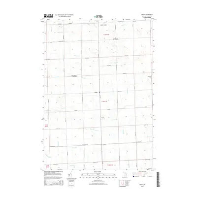
2014 Map of Argyle
USGS Topo · Published 2014About this map
Argyle and the surrounding agricultural townships of Sanilac County are defined by a complex network of drainage systems, such as the Middle Br Cass River and numerous named drains like Hobbs Drain and Ingles Drain. These watercourses reveal the historical effort to manage the low-lying terrain for farming. Several small settlements and crossroads communities are documented, including Cumber in the northwest and Laing to the south. Genealogists will find several burial sites including the Saint Joseph and Saint Ignatius Cem and the Lutheran Cem. The area is organized by a regular grid of county roads, with Ubly Rd serving as a primary north-south corridor through the village of Argyle.
Find a feature on this map
58 named features on this map. Tap any name to fly to it.
Don’t see what you’re looking for? This feature index may not catch every label — zoom into the map to look around manually.
Map Details
Editions of this 2014 Argyle Map
This is the sole edition of this map. No revisions or reprints were ever made.
Other maps of this area

1954 · Flint
USGS Topo · 1:250,000

1958 · Flint
USGS Topo · 1:250,000

1963 · Snover
USGS Topo · 1:24,000

1963 · New Greenleaf
USGS Topo · 1:24,000

1963 · Sandusky
USGS Topo · 1:24,000

1963 · Ubly
USGS Topo · 1:24,000

1963 · Minden City
USGS Topo · 1:24,000

1963 · Palms
USGS Topo · 1:24,000

1963 · Shabbona
USGS Topo · 1:24,000
1963 · Decker
USGS Topo · 1:24,000