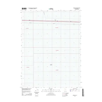
2014 Map of Arinosa NE
USGS Topo · Published 2014About this map
Great Salt Lake Desert dominates this Tooele County landscape, where the stark, flat terrain of the playa is punctuated by modern infrastructure and art. In the northern section of the map, Metaphor: Tree of Utah, a massive outdoor sculpture, stands near the corridor of Interstate 80. This section of the desert highlights the intersection of transcontinental travel and the vast, open spaces of the salt flats. The transportation network is further defined by Frontage Rd and Floating Island Rd, providing access to the remote interior of the basin. Surveyed boundaries for T1S R15W and T1S R16W underscore the geometric precision required to manage this expansive and largely featureless natural environment during the early 21st century.
Find a feature on this map
9 named features on this map. Tap any name to fly to it.
Don’t see what you’re looking for? This feature index may not catch every label — zoom into the map to look around manually.
Map Details
Editions of this 2014 Arinosa NE Map
This is the sole edition of this map. No revisions or reprints were ever made.
Other maps of this area

1953 · Tooele
USGS Topo · 1:250,000

1955 · Tooele
USGS Topo · 1:250,000

1973 · Knolls SW
USGS Topo · 1:24,000

1973 · Arinosa
USGS Topo · 1:24,000

1973 · Arinosa SE
USGS Topo · 1:24,000

1973 · Floating Island SW
USGS Topo · 1:24,000

1973 · Arinosa SW
USGS Topo · 1:24,000

1973 · Arinosa NE
USGS Topo · 1:24,000

1973 · Floating Island SE
USGS Topo · 1:24,000

1973 · Barro
USGS Topo · 1:24,000