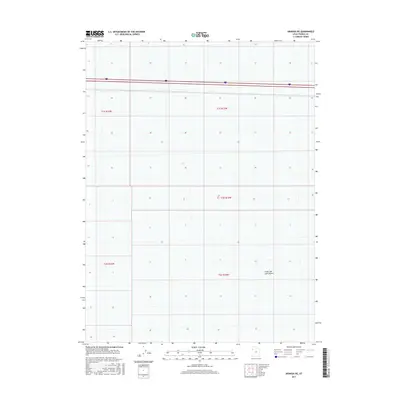
2017 Map of Arinosa NE
USGS Topo · Published 2017About this map
The Great Salt Lake Desert dominates this Tooele County landscape, presenting a stark expanse of salt crust and sediment. This 2017 survey by the U.S. Geological Survey shows a largely unpopulated portion of the Bonneville Salt Flats region, characterized by minimal elevation changes and the expansive, flat terrain typical of the Great Basin. Modern infrastructure is represented by the east-west corridor of Interstate 80, which provides the primary access through this arid environment.
Find a feature on this map
7 named features on this map. Tap any name to fly to it.
Don’t see what you’re looking for? This feature index may not catch every label — zoom into the map to look around manually.
Map Details
Editions of this 2017 Arinosa NE Map
This is the sole edition of this map. No revisions or reprints were ever made.
Other maps of this area

1953 · Tooele
USGS Topo · 1:250,000

1955 · Tooele
USGS Topo · 1:250,000

1973 · Knolls SW
USGS Topo · 1:24,000

1973 · Arinosa
USGS Topo · 1:24,000

1973 · Arinosa SE
USGS Topo · 1:24,000

1973 · Floating Island SW
USGS Topo · 1:24,000

1973 · Arinosa SW
USGS Topo · 1:24,000

1973 · Arinosa NE
USGS Topo · 1:24,000

1973 · Floating Island SE
USGS Topo · 1:24,000

1973 · Barro
USGS Topo · 1:24,000