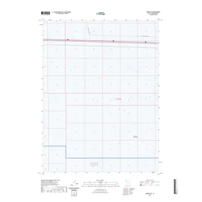
2023 Map of Arinosa NE
USGS Topo · Published 2023About this map
The vast, arid expanse of the Great Salt Lake Desert dominates this landscape in western Tooele County. This region is primarily defined by its role as a high-security military installation, with the southern portion of the map clearly designated as part of the Utah Test and Training Range. The terrain is famously flat and featureless, reflecting the ancient lake bed's unique geology. Infrastructure is sparse, consisting largely of specialized pathways such as Floating Island Dike Rd which cuts through the northern sections. This 2023 survey illustrates the continued modern intersection of the natural desert environment with the strategic requirements of national defense and aerospace testing.
Find a feature on this map
4 named features on this map. Tap any name to fly to it.
Don’t see what you’re looking for? This feature index may not catch every label — zoom into the map to look around manually.
Map Details
Editions of this 2023 Arinosa NE Map
This is the sole edition of this map. No revisions or reprints were ever made.
Other maps of this area

1953 · Tooele
USGS Topo · 1:250,000

1955 · Tooele
USGS Topo · 1:250,000

1973 · Knolls SW
USGS Topo · 1:24,000

1973 · Arinosa
USGS Topo · 1:24,000

1973 · Arinosa SE
USGS Topo · 1:24,000

1973 · Floating Island SW
USGS Topo · 1:24,000

1973 · Arinosa SW
USGS Topo · 1:24,000

1973 · Arinosa NE
USGS Topo · 1:24,000

1973 · Floating Island SE
USGS Topo · 1:24,000

1973 · Barro
USGS Topo · 1:24,000