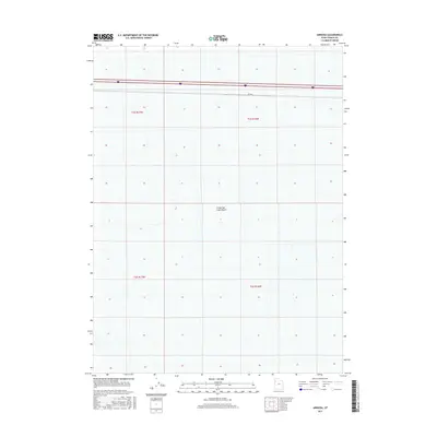
2017 Map of Arinosa
USGS Topo · Published 2017About this map
The Great Salt Lake Desert dominates this Tooele County landscape, presenting a stark expanse defined more by the absence of permanent settlement than by its presence. Modern infrastructure cuts a thin, straight line across the northern section of the map, where the Interstate 80 corridor and the Arinosa railroad line run parallel, tracing a historical path of travel through this arid basin. This 2017 survey by the U.S. Geological Survey shows the precise land management divisions of the Public Land Survey System, including t1s r17w, t1s r16w, t2s r17w, and t2s r16w. The area is characterized by its expansive salt flats and occasional wetland pockets, representing a challenging environment where transit and surveying have historically been the primary human activities.
Find a feature on this map
7 named features on this map. Tap any name to fly to it.
Don’t see what you’re looking for? This feature index may not catch every label — zoom into the map to look around manually.
Map Details
Editions of this 2017 Arinosa Map
This is the sole edition of this map. No revisions or reprints were ever made.
Other maps of this area

1953 · Tooele
USGS Topo · 1:250,000

1955 · Tooele
USGS Topo · 1:250,000

1971 · Bonneville Racetrack
USGS Topo · 1:24,000

1973 · Arinosa
USGS Topo · 1:24,000

1973 · Arinosa SE
USGS Topo · 1:24,000

1973 · Floating Island SW
USGS Topo · 1:24,000

1973 · Arinosa SW
USGS Topo · 1:24,000

1973 · Arinosa NE
USGS Topo · 1:24,000

1973 · Salduro SE
USGS Topo · 1:24,000

1973 · Floating Island SE
USGS Topo · 1:24,000