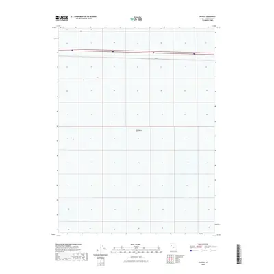
2020 Map of Arinosa
USGS Topo · Published 2020About this map
The Great Salt Lake Desert dominates this landscape, showing a stark and specialized environment where the horizon is shaped by salt flats and minimal relief. This modern topographic view identifies the location of Arinosa, a point along the railroad line that reflects the historical and ongoing importance of transcontinental transit through the western desert. The presence of 80 cutting across the northern portion of the quadrangle highlights the corridor's evolution from a difficult pioneer passage to a critical high-speed artery for commerce and travel. The map provides a precise look at the township and range divisions, which remain the primary framework for land management in this sparsely populated region of Tooele County.
Find a feature on this map
3 named features on this map. Tap any name to fly to it.
Don’t see what you’re looking for? This feature index may not catch every label — zoom into the map to look around manually.
Map Details
Editions of this 2020 Arinosa Map
This is the sole edition of this map. No revisions or reprints were ever made.
Other maps of this area

1953 · Tooele
USGS Topo · 1:250,000

1955 · Tooele
USGS Topo · 1:250,000

1971 · Bonneville Racetrack
USGS Topo · 1:24,000

1973 · Arinosa
USGS Topo · 1:24,000

1973 · Arinosa SE
USGS Topo · 1:24,000

1973 · Floating Island SW
USGS Topo · 1:24,000

1973 · Arinosa SW
USGS Topo · 1:24,000

1973 · Arinosa NE
USGS Topo · 1:24,000

1973 · Salduro SE
USGS Topo · 1:24,000

1973 · Floating Island SE
USGS Topo · 1:24,000