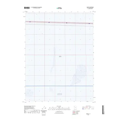
2023 Map of Arinosa
USGS Topo · Published 2023About this map
Great Salt Lake Desert dominates this section of western Utah, presenting a landscape of expansive salt flats and arid terrain. This contemporary survey reveals the stark intersection of high-speed modern transit and restricted military space. The northern portion of the quadrangle is traversed by Interstate 80, providing a vital corridor through the otherwise empty salt crust. To the south, the boundary of the Utah Test and Training Range signifies a shift into federally controlled airspace and grounds used for military operations. The map provides a clear record of the modern infrastructure and administrative boundaries that define this portion of Tooele County.
Find a feature on this map
3 named features on this map. Tap any name to fly to it.
Don’t see what you’re looking for? This feature index may not catch every label — zoom into the map to look around manually.
Map Details
Editions of this 2023 Arinosa Map
This is the sole edition of this map. No revisions or reprints were ever made.
Other maps of this area

1953 · Tooele
USGS Topo · 1:250,000

1955 · Tooele
USGS Topo · 1:250,000

1971 · Bonneville Racetrack
USGS Topo · 1:24,000

1973 · Arinosa
USGS Topo · 1:24,000

1973 · Arinosa SE
USGS Topo · 1:24,000

1973 · Floating Island SW
USGS Topo · 1:24,000

1973 · Arinosa SW
USGS Topo · 1:24,000

1973 · Arinosa NE
USGS Topo · 1:24,000

1973 · Salduro SE
USGS Topo · 1:24,000

1973 · Floating Island SE
USGS Topo · 1:24,000